The live service has been shut down temporarily to protect users, but navigation features still work.
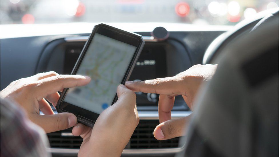
Image source, Getty Images
Google has disabled live traffic data from being displayed on its Maps app in Ukraine.
The app displays this information by collecting anonymous data from Android smartphones, which shows how busy roads and different places are.
But it has now been switched off in the region temporarily to protect users.
Google confirmed the move to the BBC, having told Reuters it took the action for the safety of local communities, after consulting regional authorities.
Although traffic data has been disabled, normal maps navigation features are still functioning properly in the area.
Data like this has long been used by people involved in desktop detection surrounding significant events.
Open-source intelligence
OSINT, or open-source intelligence, involves ordinary people using data available online, such as information about traffic or satellite images, to piece together a picture of what’s happening on the ground.
For instance, live traffic data on Google Maps is updated as a result of smartphones sending anonymised location information to Google. If lots of phone signals seem to be slow-moving or stationary (because of being stuck in traffic) the app updates to indicate roads are congested.
Benjamin Strick, director of investigations for the Centre for Information Resilience, told the BBC that while this information is useful, it’s not giving us the full picture.
“It can be useful in verifying content to answer integral questions such as where something was filmed, where it happened, when it happened, and what’s in it,” he said.
“But sometimes that can be a little risky with misinterpretation.
“Some people might see a line of light on radar imagery, and assume it’s a traffic build-up. We’ve seen this online where people look at past imagery – and I’ve noticed that, actually, it’s just power lines.
“So that’s really tricky, because it can create headlines. It’s really important to just double-verify everything and question everything.”
Could phone signals show secret troop movements?
No and yes.
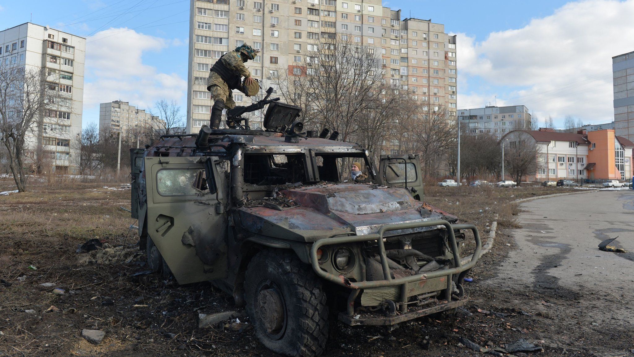
Since the start of Russia’s invasion of Ukraine, open-source researchers have been pouring over data from a variety of sources in an effort to better understand events as they unfold.
It’s unlikely that traffic data in Ukraine is being generated by mobile phones carried by military personnel though.
On 24 February, an open-source intelligence researcher in the United States combined satellite radar images and Google Maps traffic jam data from the Ukrainian border and concluded that the invasion of Ukraine by Russian forces had begun.
According @googlemaps, there is a “traffic jam” at 3:15 in the morning on the road from Belgorod, Russia to the Ukrainian border. It starts *exactly* where we saw a Russian formation of armor and IFV/APCs show up yesterday.
Someone’s on the move. pic.twitter.com/BYyc5YZsWL— Dr. Jeffrey Lewis (@ArmsControlWonk)
But Mr Strick explained that data showing heavy traffic build-up around cities could be explained by civilians, rather than armed forces.
“People might post that on Twitter, claiming that there might be a lot of Russian vehicles there,” he said.
“But that could also be people fleeing out of the area. It could be an old highway road that has never had a car for the past few months, and suddenly has three vehicles travelling in one direction.
“It doesn’t really mean it’s going to be similar to what you would see in the middle of New York City with a traffic build-up.”
What about keeping evacuees safe?
As data is provided in real-time, there is a question mark surrounding how to keep people in Ukraine safe while sharing intelligence online.
Google switching off live traffic data for Ukraine clearly helps with this, but Mr Strick says there are “a huge amount of risks” surrounding keeping people safe.
“Anyone can learn how to look at a video and see where someone is filming from, or what direction a person might be travelling. What we’ve really been trying to do is establish some ethics around that,” he said.
“There’s a bit of a game out there now, to geolocate things as quickly as possible and identify those locations. That’s a big concern at the moment.”
- 44 minutes ago
- 55 minutes ago